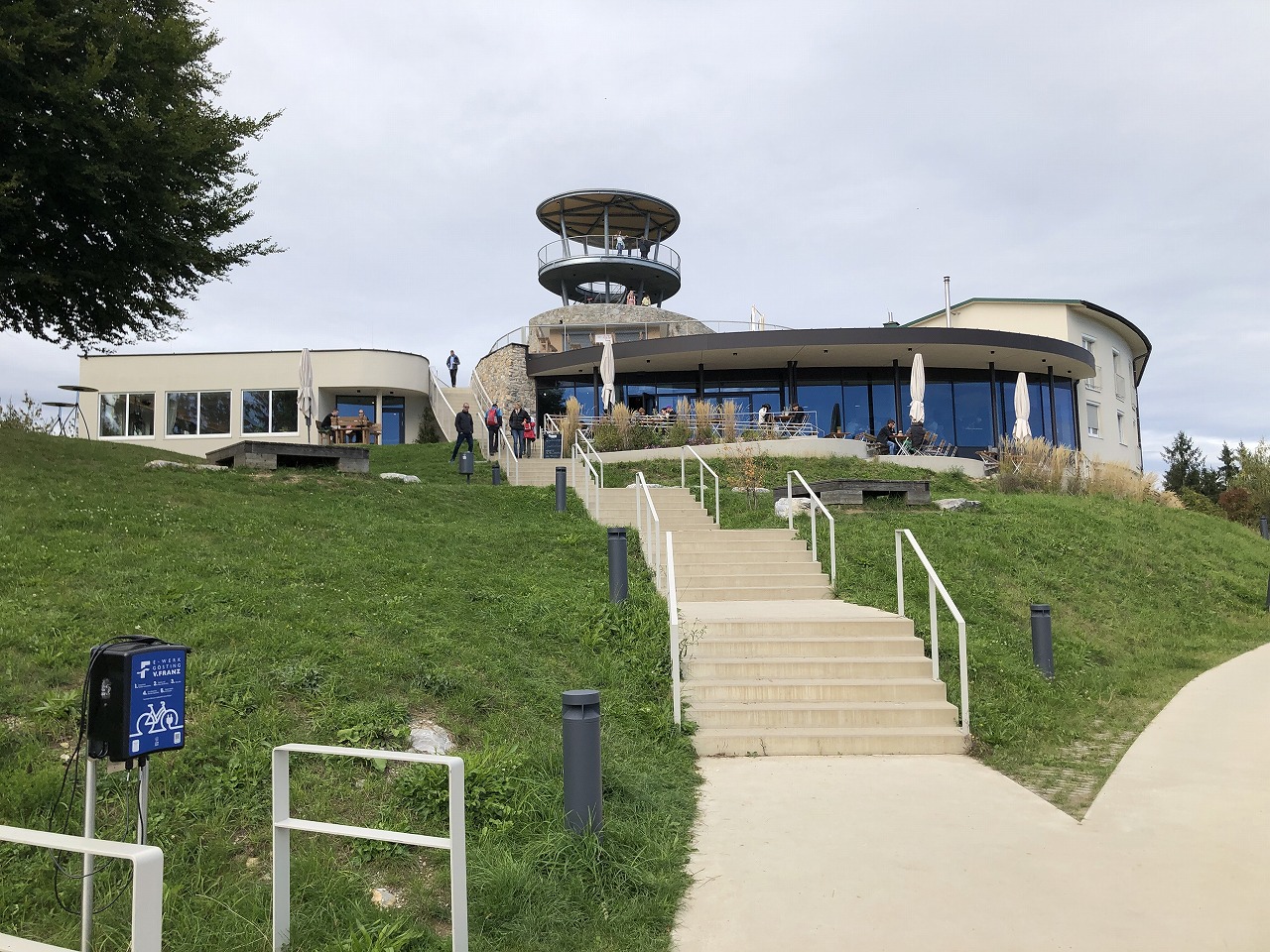
Rising on the western side of Graz, Plabutsch is one of the city’s most prominent mountains. Near the summit, you’ll find Fürstenstand, a relatively little-known viewpoint that offers impressive views over Graz.
In this article, I’ll introduce a hiking route to Fürstenstand that is easily accessible by tram. While the trail is manageable for beginners with the right equipment, it offers a surprisingly adventurous experience just outside the city.
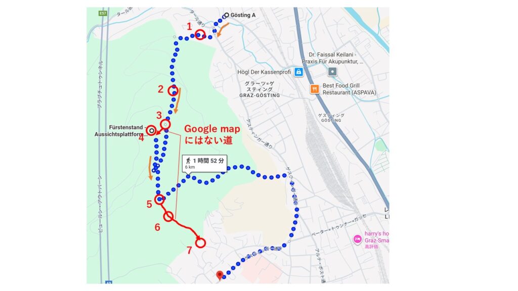
- ① Take Tram 40 to Gösting and Start Hiking
- ② Get Ready for a Steep Climb
- ③ Continue Through the Steep Trail and Fallen Trees
- ④ Arrive at the Viewpoint and Restaurant
- ⑤ Start the Descent: Paved and Gravel Paths
- ⑥ Be Careful When Hiking in Autumn
- ⑦ The Finish Line Is a Meadow?
- 🚋 An Accessible but Surprisingly Adventurous Hike from Graz
- 🗺️ Route Overview
① Take Tram 40 to Gösting and Start Hiking
The hike starts at the final stop of Tram Line 40, Gösting. From there, begin walking uphill along Fürstenstandweg. The road is paved, but the slope is surprisingly steep and can be quite demanding.
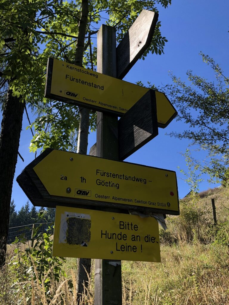
After walking uphill for a while, you’ll see a sign indicating the hiking trail to Fürstenstand. Turn left here to leave the paved road and enter the hiking trail.
It seems that you can also reach the viewpoint by continuing along the road, but the route is considerably longer on foot, so I would recommend taking the hiking trail instead.
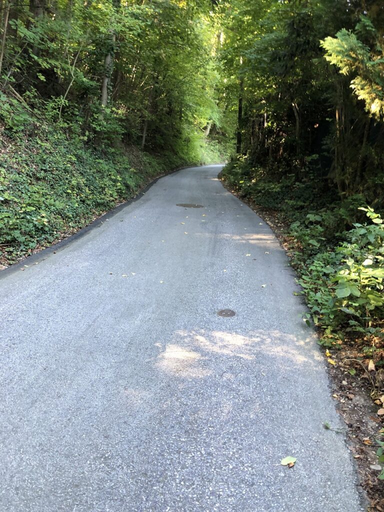
⚠️ Important: Just before the hiking trail sign, there is a relatively wide road that looks like it might be the correct route. However, this is a road for construction or maintenance vehicles and it quickly comes to a dead end.
② Get Ready for a Steep Climb
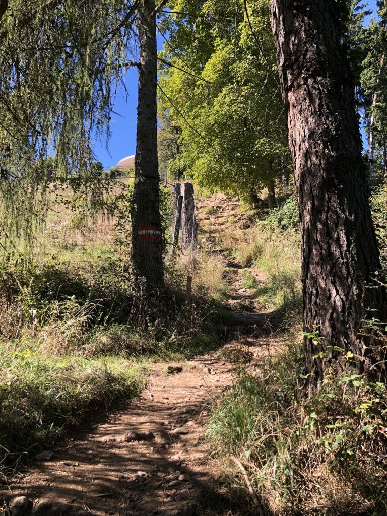
Once you turn left at the sign, the real hiking trail begins. The slope is steeper than you might expect, and even adults may find themselves out of breath at times.
That said, if you watch your footing and take your time, the trail is manageable. However, the trail becomes extremely slippery when it rains. If you don’t have suitable hiking equipment, I strongly recommend postponing the hike in wet conditions.
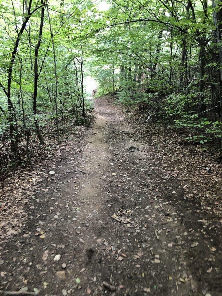
Along the way, the hiking trail occasionally crosses or branches off from roads. However, since this route is a walking trail, simply continue straight ahead rather than following the road.
③ Continue Through the Steep Trail and Fallen Trees
As you climb higher, the trees begin to thin out, and eventually you can see the Fürstenstand viewpoint ahead. There are also some paths that don’t appear on Google Maps, but clear signs marked “Fürstenstand →” make it relatively easy to stay on track.
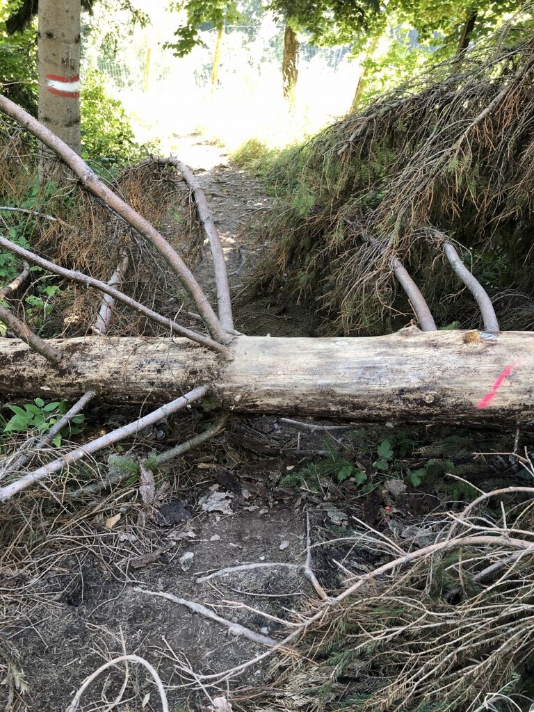
There were also several fallen trees along the trail during my visit. In some places, you need to carefully step over them. Seeing the viewpoint ahead is motivating, but don’t relax just yet—the trail continues uphill for a little longer.
④ Arrive at the Viewpoint and Restaurant
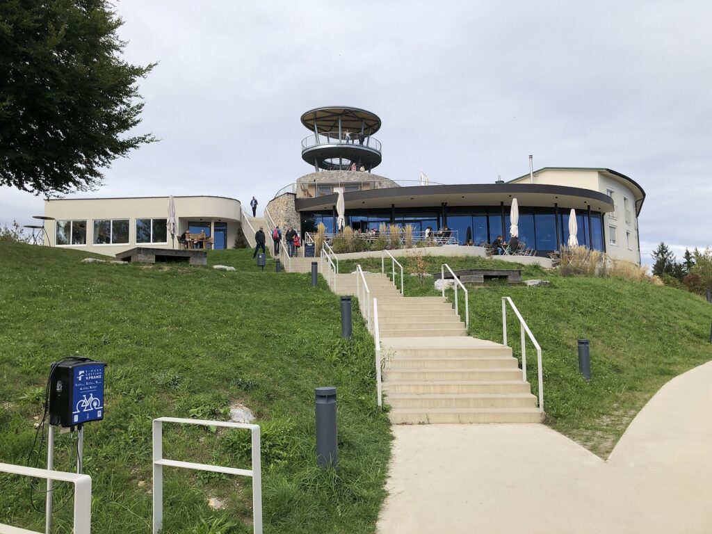
Finally, you’ll arrive at Fürstenstand. The summit area has several useful facilities:
- Viewpoint: Enjoy a wide panoramic view over Graz.
- Restaurant: A great place to take a break after the hike.
- Free toilets
- Plenty of benches: Perfect for lunch or a picnic.
- Water supply: You can refill your water here.
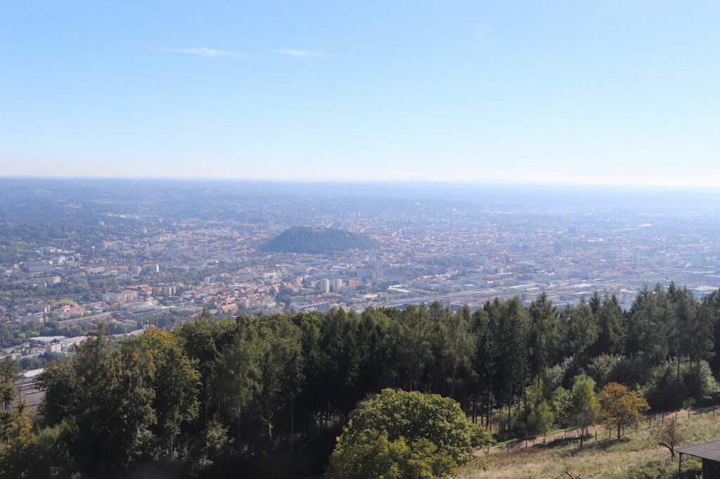
From the viewpoint, you can look out over the city of Graz. If visibility is good, you may even be able to spot the famous Uhrturm (Clock Tower) on Schlossberg.
However, the clock tower is difficult to identify with the naked eye. I was only able to confirm it clearly by taking a photo with a telephoto lens. If you enjoy photography, bringing a telephoto lens could be worthwhile.
⑤ Start the Descent: Paved and Gravel Paths
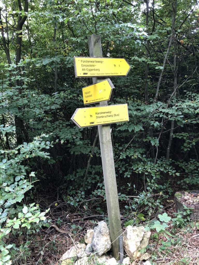
For the descent, follow the paved forest road around the viewpoint. This section is relatively easy to walk. Eventually, the route changes into an unpaved gravel path before continuing down the hiking trail known as Karolinenweg.
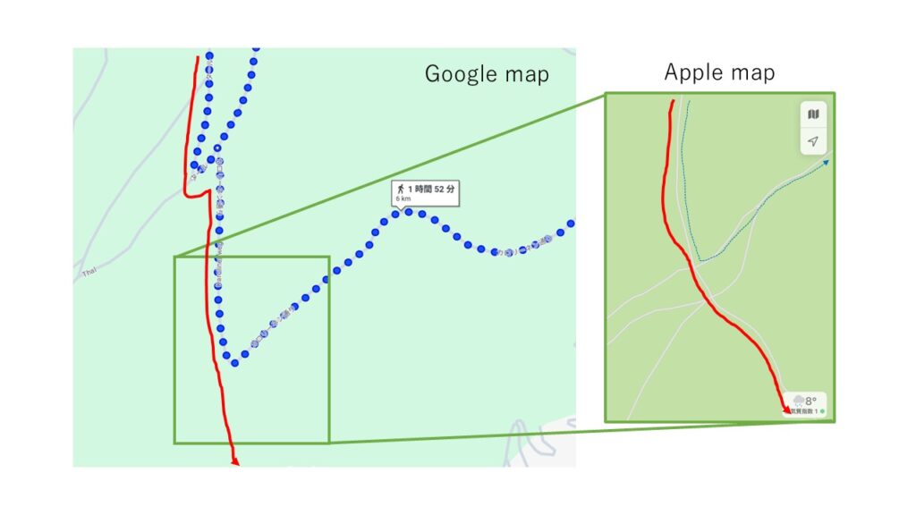
Karolinenweg is a narrow hiking trail that isn’t accessible by car. Further along, I chose another hiking route that was shown on Apple Maps.
🗺️ Tip: Apple Maps may provide better hiking-trail information
Based on my experience here and at Hilmteich, I found that Apple Maps showed hiking trails more accurately than Google Maps, which made navigation easier.
⑥ Be Careful When Hiking in Autumn
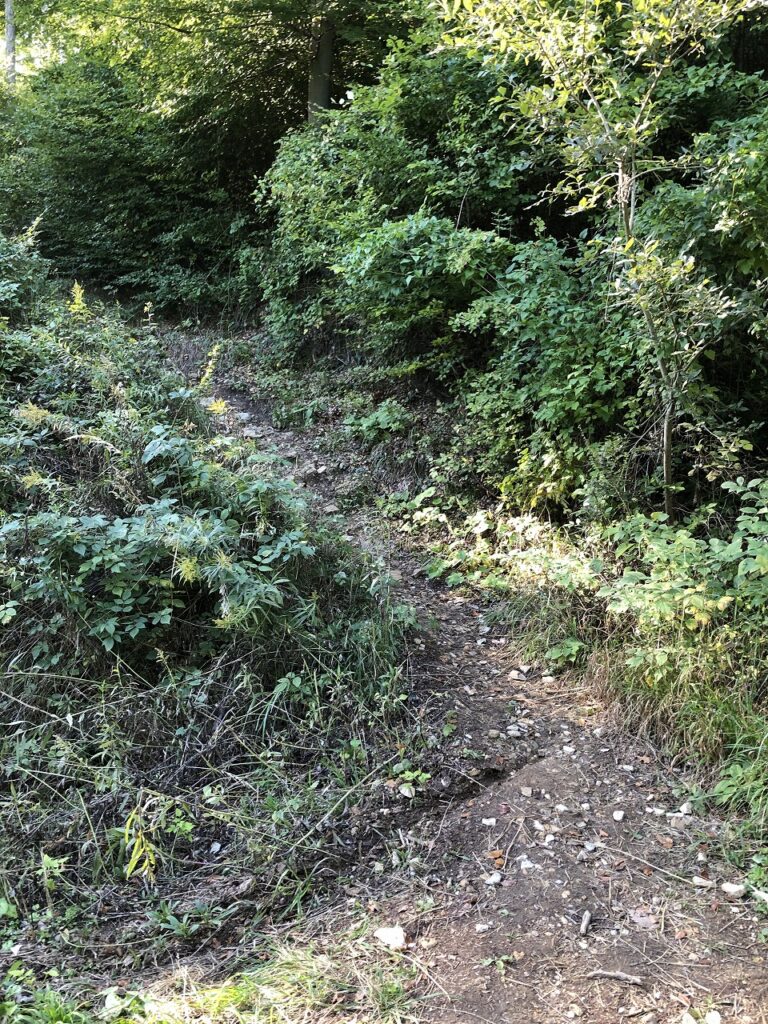
The trail I chose is generally a well-maintained hiking route. However, depending on the season, large amounts of fallen leaves can cover the ground and make the trail surprisingly difficult to follow.
For this reason, I recommend regularly checking your current location and route on your smartphone while hiking.
📶 One reassuring point is that mobile phone reception is available across almost the entire route, so the risk of becoming completely lost is relatively low.
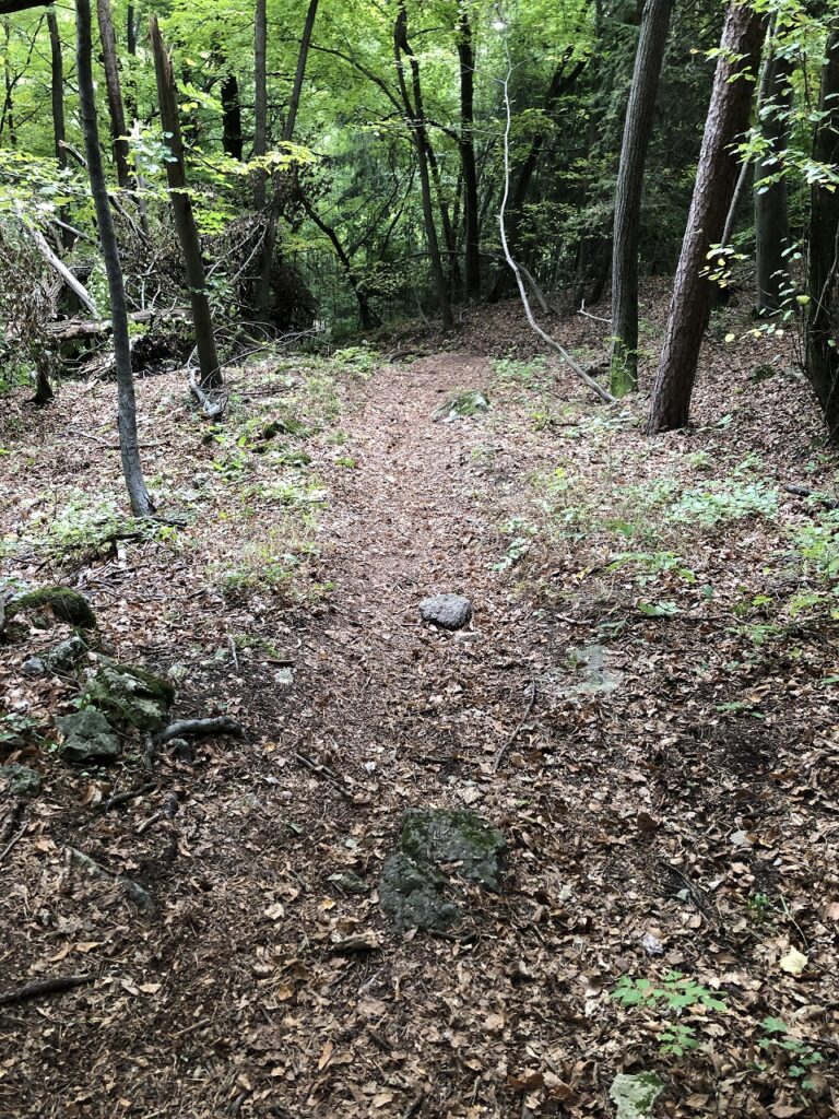
⑦ The Finish Line Is a Meadow?
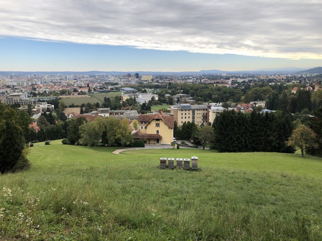
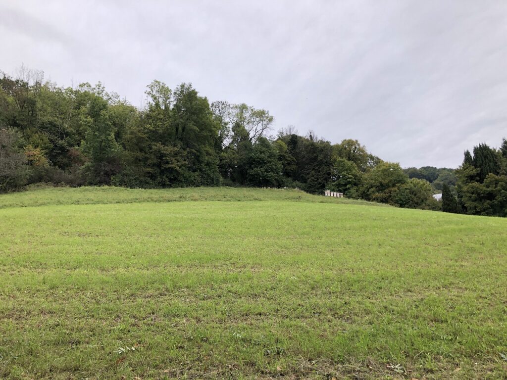
After carefully following the trail through the fallen leaves, you’ll eventually emerge into a meadow behind the Akademie für Gesundheitsberufe, a healthcare training academy.
🌿 The exit is surprisingly difficult to recognize as a hiking trail from the city side.
You may wonder, “Am I really in the right place?” It’s quite amusing to suddenly emerge into an open grassy area where you wouldn’t expect a trail to exist.
🚋 An Accessible but Surprisingly Adventurous Hike from Graz
This route is particularly appealing because you can reach the starting point with a single tram ride from central Graz, yet the hike itself takes you deep into nature and eventually rewards you with beautiful panoramic views.
- Difficulty: ★★★☆☆ (Beginner to intermediate)
- Hiking time: Approximately 1 hour 10 minutes uphill, and 50 minutes to 1 hour downhill
- Recommended equipment: Hiking shoes, rain gear, drinking water, snacks, and a smartphone (Apple Maps recommended)
🗺️ Route Overview
🎒 Why I Recommend This Hike
The hiking route to Fürstenstand is one of the most appealing short adventures around Graz. The fact that you can reach the starting point with a single tram ride from the city center makes it particularly convenient.
At the same time, this is not simply an urban walk. You’ll experience a genuine hiking trail surrounded by nature, followed by spectacular views over Graz from the summit.
If conditions are good, you may also be able to spot the Uhrturm (Clock Tower) on Schlossberg. The summit area also has a restaurant, free toilets, water, and plenty of benches, making it a convenient place to rest and enjoy a snack or lunch.
Another useful discovery from this hike was that Apple Maps can be particularly helpful for navigating the trails. Some hiking paths that were not displayed on Google Maps were visible on Apple Maps.
There are, however, a few things to keep in mind. The trail can become slippery after rain, and fallen leaves can make the route difficult to follow in autumn. Make sure you have suitable equipment and regularly check your location on your smartphone.
If you’re looking for a hike near Graz where you can enjoy both nature and panoramic city views, Fürstenstand is definitely worth considering.


コメント